Main points
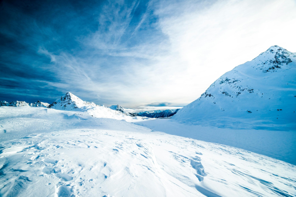
- In 2026, the area of Arctic sea ice reached its lowest level in the history of satellite observations, at 13.76 million square kilometers.
- Increased temperatures in regions such as the Sea of Okhotsk and Baffin Bay, along with weather patterns, have caused the ice area to shrink.
/ Unsplash / Alberto Restifo
The winter season, which usually brings maximum ice in the Arctic, has ended with an unexpected result. Satellite data has revealed a trend that is increasingly worrying.
In 2026, the area of sea ice in the Arctic in winter reached its lowest level in the history of satellite observations, which have been conducted since 1979. According to the National Institute of Polar Research of Japan and the Japan Aerospace Exploration Agency , the maximum ice area was 13.76 million square kilometers and was recorded on March 13. This is reported by Phys.org .
Why has Arctic ice reached a historic low?
This figure was even lower than the previous anti-record set in 2025, although the difference is only about 0.03 million square kilometers . At the same time, a trend towards a decrease in ice cover has been observed for several years in a row, which is confirmed by more than 40 years of satellite data.
Arctic sea ice typically grows from October to March , then begins to melt. However, in the 2025–2026 season, its extent remained below the 2010s average throughout the entire growth period.
One of the key reasons for this was increased temperatures in some regions. In particular, the Sea of Okhotsk and the Baffin Bay-Labrador Sea region experienced above-normal temperatures in January and February 2026. This prevented the ice from spreading further south as it had done previously.
In the Sea of Okhotsk, the situation was further complicated by weather conditions. From mid-February to mid-March, easterly and south-easterly winds prevailed there, and temperatures remained higher than in the same period in 2025. As a result, the ice area began to shrink after February 19 , which significantly affected the overall indicator for the entire Arctic.
According to Eurekalert , observations of the ice condition are carried out using satellite radiometers, in particular the Advanced Microwave Scanning Radiometer 2 (AMSR2) instrument installed on the GCOM-W “SHIZUKU” mission satellite. These instruments allow to accurately track changes in the ice area regardless of weather conditions and time of day.
Scientists are also preparing to deploy a new generation of sensors, AMSR3 , which will expand monitoring capabilities. They plan to make its data publicly available, which will help to further analyze climate change.
The new record low once again underscores the scale of the changes taking place in the Arctic . The shrinking ice sheet not only affects local ecosystems, but also global climate processes, including ocean circulation and atmospheric phenomena.