Main points
- Often, the actual boundaries of land plots do not coincide with the coordinates entered in the State Land Cadastre, which leads to intersections of plots and the impossibility of their registration.
- Correction of errors within the boundaries is possible based on technical documentation or inventory, but may require agreement with the owners of neighboring plots or judicial resolution of the dispute.
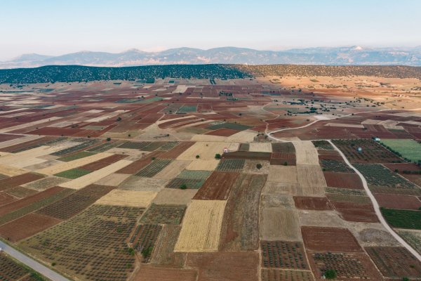
The boundaries do not match the cadastre / Photo Freepik
There are often situations when a person wants to sell a plot of land and starts comparing the boundaries defined in the cadastre with the real boundaries and they do not match. In this case, it is necessary to resolve the error of the intersection of two plots.
What to do in case of boundary mismatch?
When checking the information entered about a land plot in the State Land Cadastre and drawing its boundaries in nature (on the ground), it often happens that the actual boundaries on the ground do not coincide with the coordinates of the turning points entered in the State Land Cadastre, reports the “Land Fund of Ukraine”. As a result, one can observe such a phenomenon as the intersection of two or more land plots, their overlapping or use outside the boundaries.
In general, incorrect boundaries of a land plot are when, according to land management documents, a plot has the same dimensions and coordinates, but in fact occupies the territory of another plot or part of it, as a rule, a neighboring land plot, sometimes several.
In accordance with Part 6 of Article 24 of the Law of Ukraine “On the State Land Cadastre” it is established that one of the grounds for refusal to conduct state registration of a land plot is the location within the boundaries of the land plot subject to registration of another land plot or part thereof.
In this case, the owner will not be able to obtain a cadastral number, which is mandatory in the event of alienation of a land plot. This means that in the absence of such a number, a person cannot fully dispose of his property: sell, donate a land plot or a house or other structure located on such a plot.
Please note! On residential and public development lands (for example, under an individual residential building), such an “error” is a source of boundary disputes and the impossibility of full use of the land plot.
What are the most common mistakes made when registering land?
In the conditions of full circulation of agricultural land (with the opening of the land market), citizens of Ukraine have activated the procedure for state registration of land plots belonging to them by right of ownership.
It is at this stage that some land owners face the problem of incorrectly entered boundaries, the intersection of their land plots with neighboring land plots in whole or in part, etc.
The most common cause of errors in the boundaries of land plots entered into the State Land Register (applies to land plots that were formed before 2013 and for which title documents for the right of use or ownership were issued):
- these are errors made when transferring information about land plots from the State Land Register to the State Land Cadastre; errors were detected in determining the areas and/or boundaries of land plots (location within the boundaries of a land plot of part of another land plot;
- inconsistency of the boundaries of the land plot indicated in the State Land Register with its actual boundaries;
- discrepancy between the area of the land plot indicated in the State Land Register and its actual area due to changes in calculation methods (rounding);
- assigning the same cadastral numbers to several land plots (in paper and electronic form);
Such errors, with the consent of the owner of the land plot, the user of the land plot of state or municipal ownership, can be corrected on the basis of technical documentation on land management regarding the establishment (restoration) of the boundaries of the land plot in nature (on the ground) or based on land inventory materials.
Changing the boundaries of a land plot when correcting the specified errors is permitted with the written consent of the persons who own the right of ownership (and in the case of state and municipal property – the right of use) to adjacent land plots.
How to make changes to the boundaries of the plot?
The lack of consent of the owner of the land plot, the user of the land plot of state or municipal ownership to correct the specified errors is not a basis for refusing to transfer information about the relevant land plot to the State Land Cadastre, or to provide information about the land plot from the State Land Cadastre.
There are not infrequent cases when entire blocks (blocks) of land plots are entered with a certain distance offset or in other districts and regions. In such cases, correction of the error is possible after the development of technical documentation on the inventory of lands of the relevant settlement or part of the ATC.
The reason for the discrepancy between the actual and legal boundaries of land plots today is:
- use of different coordinate systems (occurs when one land plot is registered in the 1963 coordinate system (SK63), and another land plot is entered in the coordinate system of the State Geodetic Reference Coordinate System USK-2000);
- there is no information about the performance of similar works by another land management organization on the same land plot (duplication)
- there is no information about the boundaries of the formed and registered adjacent land plot (due to the fact that the Public Cadastral Map of Ukraine is not working).
Important! Each case of such an error is considered by the developer of land management documentation individually (separately) and, in agreement with the customer, the optimal solution is adopted. In the event that a compromise cannot be reached between the owners of land plots in accordance with Art. 158 of the Land Code of Ukraine, land disputes are resolved in court.
How to sell a land plot in Ukraine that does not have a cadastral number?
-
It is impossible to sell land without a cadastral number in Ukraine, as it is a unique identifier of a land plot, confirming its existence in the State Land Cadastre.
-
To assign a cadastral number, it is necessary to order technical documentation, conduct a survey, submit documents to the State Geocadastre and obtain an extract from the State Land Cadastre.